The real-time traffic information of Journey Time Indication System (JTIS) can be obtained from the Traffic Information on the Transport Department's Homepage.
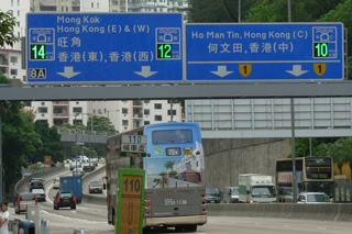
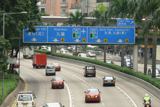
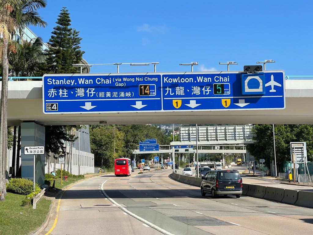
The Journey Time Indication System on Hong Kong Island was commissioned in 2003 and expanded to Kowloon in 2010 to provide the estimated journey times to the exits of respective tunnels from Hong Kong Island to Kowloon and vice versa. The System was further expanded in 2020 to provide the estimated journey times of some strategic routes and major roads. Journey time indicators are installed at critical diversion points of strategic routes and major roads to provide journey time information for facilitating members of the public to plan their journeys and select suitable routes or transport modes.
The displayed digits on the journey time indicators are shown in three colours for different traffic conditions: Red represents congested traffic, Amber represents slow traffic and Green represents smooth traffic. The JTIS operates on a 24-hour basis and the displayed times are refreshed every two minutes.
As of Jun 2023, there are 29 sets of journey time indicators installed at:
- Gloucester Road eastbound near Revenue Tower
- Canal Road Flyover northbound near exit of Aberdeen Tunnel
- Island Eastern Corridor westbound near City Garden
- Island Eastern Corridor westbound near Lei King Wan
- Wong Nai Chung Road northbound near Queen's Road East
- Hing Fat Street northbound near Victoria Park
- Repulse Bay Road northbound near Island Road
- Wong Chuk Hang Road northbound near the Hong Kong Country Club
- Wong Chuk Hang Road eastbound near Aberdeen Sports Ground
- Ap Lei Chau Bridge Road northbound near Wong Chuk Hang Road
- Ferry Street southbound near Charming Garden
- Gascoigne Road eastbound near the Hong Kong Polytechnic University
- Waterloo Road southbound near Kowloon Hospital
- Princess Margaret Road southbound near Oi Man Estate
- Chatham Road North southbound near Fat Kwong Street Playground
- Kai Fuk Road northbound near the petrol stations
- West Kowloon Highway westbound near MTR Nam Cheong Station
- Hung Tin Road southbound near junction with Hung Chi Road
- Long Tin Road southbound near Parkside Villa
- Yuen Long Highway eastbound near Shap Pat Heung Interchange
- Tai Po Road eastbound near Kwong Fuk Estate
- Tsing Sha Highway estblund near Shing Mun River Channel
- Fuk Man Road northbound near Po Tung Road
- Po Shun Road southbound near Chung Ming Court
- Wan Po Road westbound near Hong Kong Velodrome
- Po Hong Road southbound near KMB Tseung Kwan O Depot
- Po Yap Road westbound near Tiu Keng Leng Sports Centre
- Po Shun Road southbound near Tiu Keng Leng Sports Centre
- Chui Ling Road eastbound near Tiu Keng Leng Sports Centre
 |
 |
| Journey Time Indicators at Waterloo Road southbound near Kowloon Hospital |
Journey Time Indicators at Gloucester Road Eastbound near Revenue Tower |
 |
 |
| Journey Time Indicators at Wong Chuk Hang Road eastbound near Aberdeen Sports Ground |
Journey Time Indicators at Fuk Man Road northbound near Po Tung Road |
Journey Time Indication System


